1/4


Pacific Typhoon Tracker
1K+التنزيلات
7.5MBالحجم
19.0.0(21-01-2021)الإصدار الأخير
التفاصيلالمراجعاتالنُّسَخالمعلومات
1/4

وصف لـPacific Typhoon Tracker
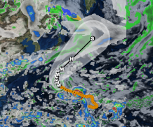
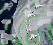
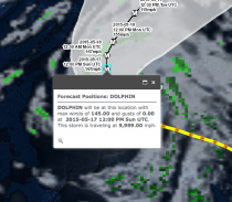
Pacific Typhoon Tracker is an interactive mapping application for tracking hurricanes, typhoons, tropical storms and tropical depressions in the Atlantic ocean. All data comes from the NHC, NOAA and NWS. Listed below are the featured layers of this application.
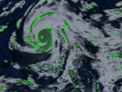
-Global Cloud Cover
-Hurricane Tracks
-NHC Chance of Development
-Tropical Storm Tracks
-Tropical Depression Tracks
-Wave Height Data
-3 Hour Precipitation Data
-NOAA Buoy and Ship Observation Data
-GPS Location
-Wave Direction
-Global Surface Winds</br></br></br></br></br></br></br></br></br></br></br></br>
تطبيق جيد نوصي بهلقد اجتاز هذا التطبيق اختبار الأمان من الفيروسات، البرمجيات الخبيثة أو أي هجمات خبيثة أخرى وهو لا يحتوي أي تهديد.
Pacific Typhoon Tracker - معلومات APK
نُسخة APK: 19.0.0الحزمة: com.mobincube.android.sc_3DGAH6الاسم: Pacific Typhoon Trackerالحجم: 7.5 MBالتنزيلات: 13الإصدار : 19.0.0تاريخ الإصدار: 2021-02-23 15:38:58الشاشة: SMALLيدعم CPU نوع:
عنوان الحزمة: com.mobincube.android.sc_3DGAH6توقيع SHA1: F1:9A:C1:C0:22:8C:3C:3D:A4:55:F3:26:65:A4:6A:32:6A:85:09:EBالمطور (CN): Mobimento Mobileالمنظمة (O): Mobimento Mobileمحلي (L): Valenciaالبلد (C): ESولاية/مدينة (ST): Valencia
آخر إصدار من Pacific Typhoon Tracker
19.0.0
21/1/202113 التنزيلات7.5 MB الحجم
نُسخ أخرى
18.0.0
15/10/202013 التنزيلات7.5 MB الحجم
17.0.0
14/6/202013 التنزيلات7 MB الحجم
16.0.0
29/5/202013 التنزيلات7 MB الحجم
15.0.0
20/5/202013 التنزيلات4.5 MB الحجم


